Boundary & Right of Way Surveying
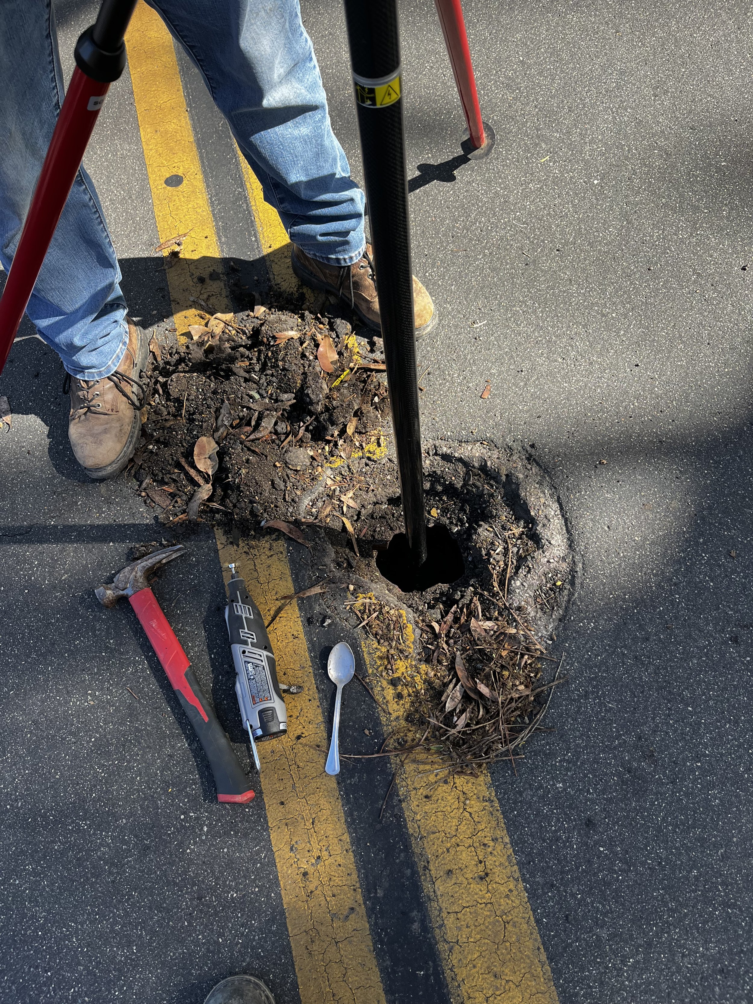
Paradigm Geospatial’s Mapping team is comprised of experienced Licensed Land Surveyors who are well versed at performing all a of mapping that include: Boundary Retracements & Determinations, American Land Title Association (ALTA) surveys, Records of Survey, Right‐of-Way Determination, Legal Descriptions and their accompanying Plats, Easement Acquisition & Vacations, Lease Parcels, encumbrance and constraints maps for both Public Agency and private clients.


