Geospatial Intelligence (GEOINT)
Paradigm Geospatial provides a wide range of GEOINT services to both the Public and Private agencies including:
GIS Vectorization & Tiling
Multi-Format Data Integration
SAR & InSAR Processing
Realtime Situational Awareness
Positioning Systems
Warfighter Support
Data Analytics
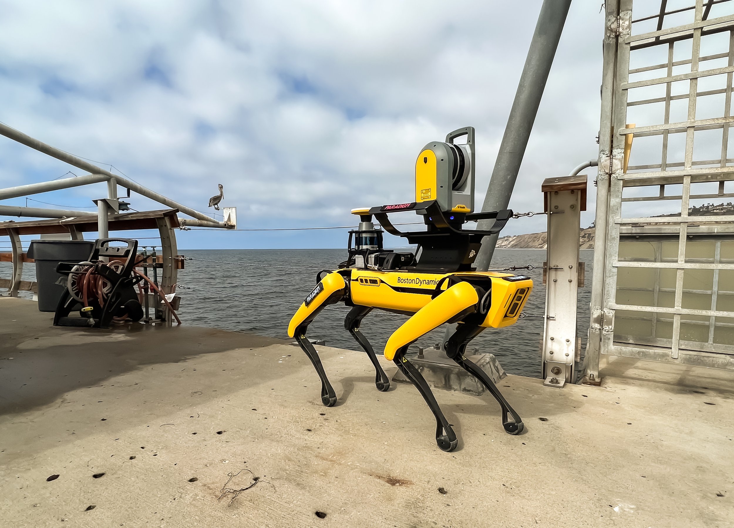
Advanced Robotics
AI & ML Support